
Fly a Flag for Poplar
Date: 1974
Director: Roger Buck, Caroline Goldie, Ron Orders, Geoff Richman
Production Company: Liberation Films, British Film Institute
Stars: Alice Mahoney, John Mahoney, Andrew Tuck, Joe Mitchell, Bill Pyne
Location(s): London
Region(s): London E-G
Storyline:
A documentary about Poplar and the people who live there, seen going about their lives whilst organising the 1973 Teviot Festival.
Additional Information:
Screen captures uploaded by Phil Wilkinson
Can you help:
If you have any information regarding this production, the locations or, even better, some comparison shots please contact us. Images submitted must be in Landscape orientation, as would be seen on the cinema screen, not Portrait.
We are aware that there are films on the site that were added when the criteria for the inclusion of locations was very different from today and, as a result, there may be scenes missing from some productions. Please do not forward additional screen captures to us but bring the detail to our attention, for we do, and are, 're-addressing' these older entries as time allows.
- Capture 1
- 'Now' required
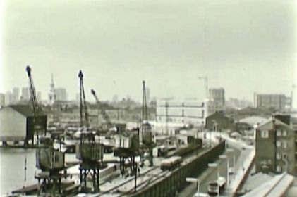
A documentary film about Poplar, in the East End of London, and the people who live there. Preston's Road runs alongside Poplar Dock.
- Capture 2
- 20 Apr 2018
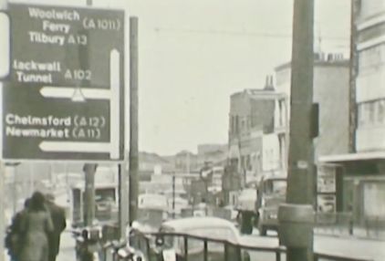
The citizens are seen going about their day-to-day lives whilst organising their local festival. East India Dock Road in London E14.
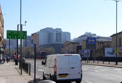
From a similar position. (PW)
- Capture 3
- 20 Apr 2018
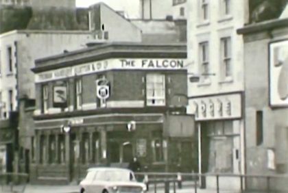
Poplar in 1973 is looked at in the light of the past and the importance of the labour movement at the beginning of the 20th century. The Falcon public house stood at the corner of East India Dock Road and Bullivant Street. It closed in 1985 and was demolished shortly after.
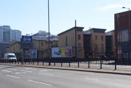
The whole of the south side of the road was swept away to widen the A13. (PW)
- Capture 4
- 'Now' required
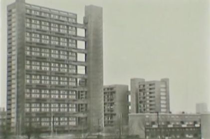
The great strikes and events of 1921 are highlighted when the members of Poplar Council were sent to prison. This is Balfron Tower on the Brownfield Estate.
- Capture 5
- 20 Apr 2018
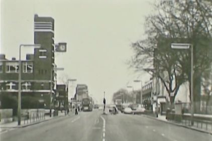
More of East India Dock Road with the tower of George Green's School on the left.
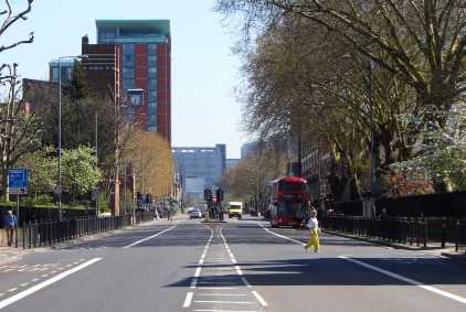
A rather more built up view now. (PW)
- Capture 6
- 'Now' required
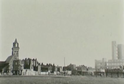
To the left of this image is the tower of St. Michael's Court whilst on the extreme right is Balfrom Tower which was built between 1965 and 1967.
- Capture 7
- 'Now' required
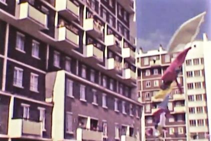
The first of two colour images showing the 1973 Teviot Festival.
- Capture 8
- 'Now' required
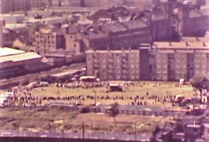
The festival in full swing in Langdon Park off St. Leonards Road. The railway line running on the left of the image is now used by the Docklands Light Railway.
- Capture 9
- 'Now' required
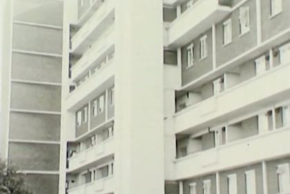
A currently unidentified high rise block.
- Capture 10
- 'Now' required
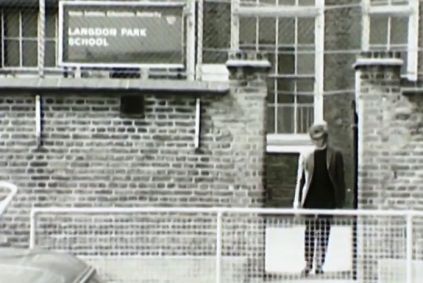
As the sign says, Langdon Park School. The current main entrance is on Byron Street E14.
- Capture 11
- 22 Sep 2017

St. Michael's Court seen from the junction of Saint Leonard's Road and Spey Street.
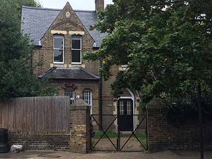
The tree has taken over the front garden. SJ
- Capture 12
- 22 Sep 2017
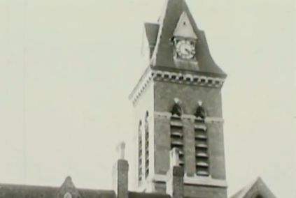
The camera tilts up to reveal the tower of St. Michael's Court.
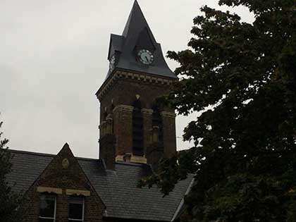
I couldn't quite align the chimneys' angle to the tower thanks to the tree growth. SJ
- Capture 13
- 'Now' required
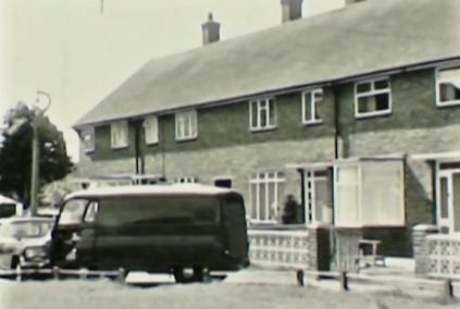
Newer buildings on a housing estate are also visited. Unknown location.
- Capture 14
- 22 Sep 2017
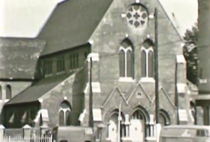
St. Michael's Court on Saint Leonard's Road near the junction with Ullin Street.
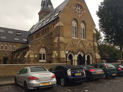
Still there. SJ
- Capture 15
- 22 Sep 2017
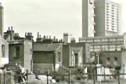
This appears to be a view from Bright Street with the rear of houses on Saint Leonard's Road in the foreground and Balfron Tower standing in the right distance.
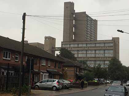
Not quite from the rear of the houses, rather the front of where they once stood. SJ
- Capture 16
- 22 Sep 2017
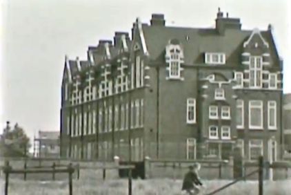
The main building of Langdon Park School.
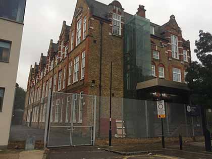
Changes but the building is intact. SJ
- Capture 17
- 'Now' required
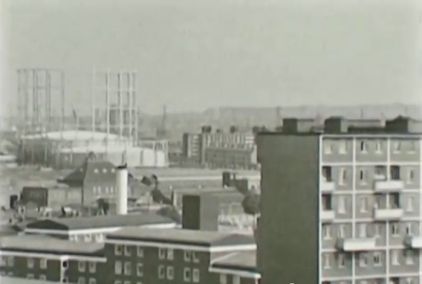
A panorama starts with Poplar Gasworks in the background.
- Capture 18
- 'Now' required
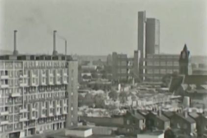
The pan continues bringing Balfron Tower into view.
- Capture 19
- 'Now' required
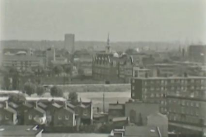
The shot ends with All Saints Church behind Langdon Park School in the centre distance.
- Capture 20
- 04 Sep 2017
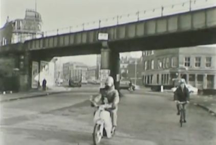
Christopher Matheson states; The camera is in West India Dock Road facing north but this stretch of the street, south of the bridge, is now called Hertsmere Road. The bridge has survived but the buildings immediately beyond the bridge have gone. The pub at the left was The Railway Tavern 116 West India Dock Road and the pub at the right the Blue Posts 73-75 West India Dock Road.
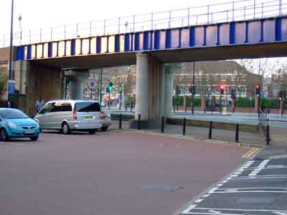
Having identified the location some years back Christopher now sends a photograph that he took two or three years ago showing the changes. (RL)